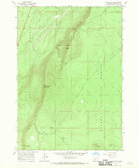
1967 Map of Walker Mtn
USGS Topo · Published 1970About this map
Walker Rim dominates this high-altitude landscape in Klamath County, marking a dramatic geological transition between the Deschutes National Forest and Winema National Forest. Surveyed in the late 1960s, the map highlights the prominence of Walker Mtn, which serves as a critical vantage point crowned by the Radio Tower Lookout 7083 Radio Tower. This area is defined by its water resources and varied topography, with several named water sources providing essential hydration in the high country, including Walker Rim Spring, South Walker Spring, and Skookum Spring. The map documents the primitive infrastructure of the period, featuring a Jeep Tr that winds through the forest and notable high points such as Marmot Pass and Skookum Butte, illustrating how early forest management and telecommunications were established on this remote Oregon plateau.
Find a feature on this map
13 named features on this map. Tap any name to fly to it.
Don’t see what you’re looking for? This feature index may not catch every label — zoom into the map to look around manually.
Map Details
Editions of this 1967 Walker Mtn Map
This is the sole edition of this map. No revisions or reprints were ever made.
Other maps of this area

1935 · Chemult
USGS Topo · 1:96,000

1941 · Chemult
USGS Topo · 1:125,000

1955 · Crescent
USGS Topo · 1:250,000

1957 · Crescent
USGS Topo · 1:250,000

1958 · Crescent
USGS Topo · 1:250,000
1967 · Chemult
USGS Topo · 1:24,000
1967 · Muttonchop Butte
USGS Topo · 1:24,000
1967 · Sellers Marsh
USGS Topo · 1:24,000
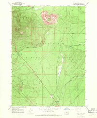
1967 · Odell Butte
USGS Topo · 1:24,000
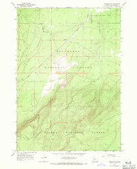
1967 · Crescent NE
USGS Topo · 1:24,000