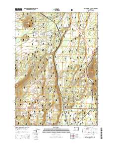
2014 Map of Muttonchop Butte
USGS Topo · Published 2014About this map
Muttonchop Butte and Little Walker Mtn dominate the volcanic landscape of central Oregon in this modern era survey. The area is defined by the transition between the Deschutes National Forest and the Winema National Forest, showing a network of timber and development roads managed by the U.S. Forest Service. Water is a critical feature in this high-country environment, with the Little Deschutes River flowing through the valley, supported by tributaries like Spruce Cr, Hemlock Cr, and Swamp Cr. A notable point of interest is Corral Spring, a localized water source in the southern portion of the quadrangle. Transportation is anchored by The Dalles-California Hwy and State Hwy 58, which provide the primary access through this protected forest land, alongside specialized routes like Hemlock Creek Rd and Walker Mountain Rd.
Find a feature on this map
29 named features on this map. Tap any name to fly to it.
Don’t see what you’re looking for? This feature index may not catch every label — zoom into the map to look around manually.
Map Details
Editions of this 2014 Muttonchop Butte Map
This is the sole edition of this map. No revisions or reprints were ever made.
Other maps of this area

1935 · Chemult
USGS Topo · 1:96,000

1941 · Chemult
USGS Topo · 1:125,000

1955 · Crescent
USGS Topo · 1:250,000

1957 · Crescent
USGS Topo · 1:250,000

1958 · Crescent
USGS Topo · 1:250,000
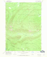
1967 · Burn Butte
USGS Topo · 1:24,000
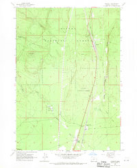
1967 · Chemult
USGS Topo · 1:24,000
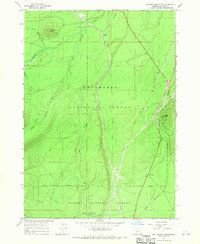
1967 · Muttonchop Butte
USGS Topo · 1:24,000
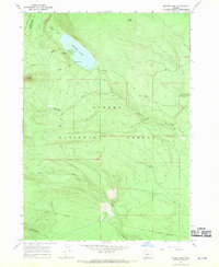
1967 · Miller Lake
USGS Topo · 1:24,000
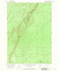
1967 · Walker Mtn
USGS Topo · 1:24,000