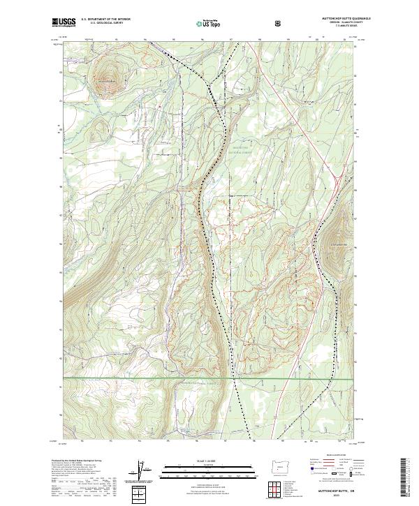
2023 Map of Muttonchop Butte
USGS Topo · Published 2023About this map
The Little Deschutes Wild and Scenic River carves a distinctive path through this portion of the high country, where the boundaries of the Deschutes National Forest and Winema National Forest meet. This 2023 landscape is defined by its extensive network of off-highway vehicle paths, such as the Three Trails Ohv #42 Trl and Three Trails Ohv #31 Trl, which weave through the timber between Muttonchop Butte and Little Walker Mtn.
Find a feature on this map
53 named features on this map. Tap any name to fly to it.
Don’t see what you’re looking for? This feature index may not catch every label — zoom into the map to look around manually.
Map Details
Editions of this 2023 Muttonchop Butte Map
This is the sole edition of this map. No revisions or reprints were ever made.
Other maps of this area

1935 · Chemult
USGS Topo · 1:96,000

1941 · Chemult
USGS Topo · 1:125,000

1955 · Crescent
USGS Topo · 1:250,000

1957 · Crescent
USGS Topo · 1:250,000

1958 · Crescent
USGS Topo · 1:250,000
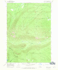
1967 · Burn Butte
USGS Topo · 1:24,000
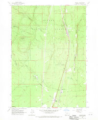
1967 · Chemult
USGS Topo · 1:24,000
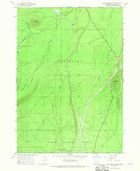
1967 · Muttonchop Butte
USGS Topo · 1:24,000
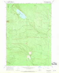
1967 · Miller Lake
USGS Topo · 1:24,000
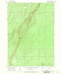
1967 · Walker Mtn
USGS Topo · 1:24,000