2022 Map of Myers Flat
USGS Topo · Published 2022About this map
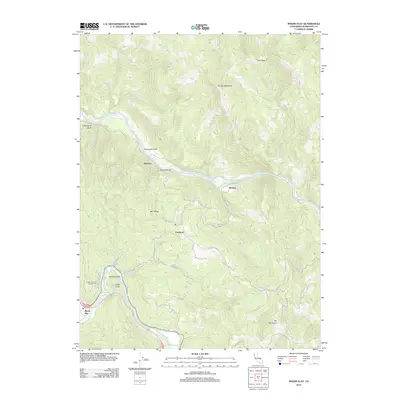
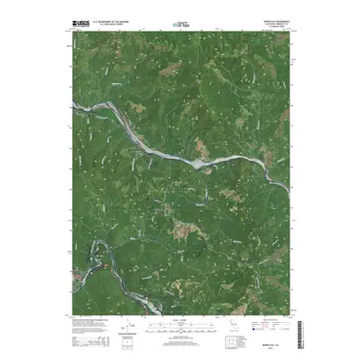
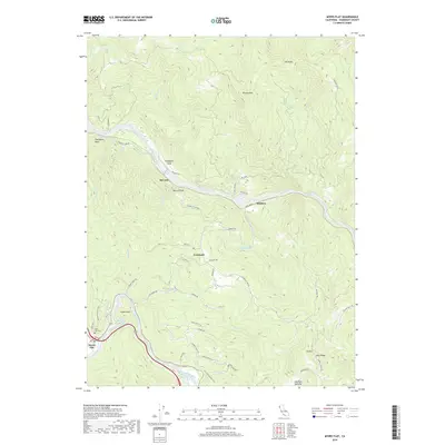
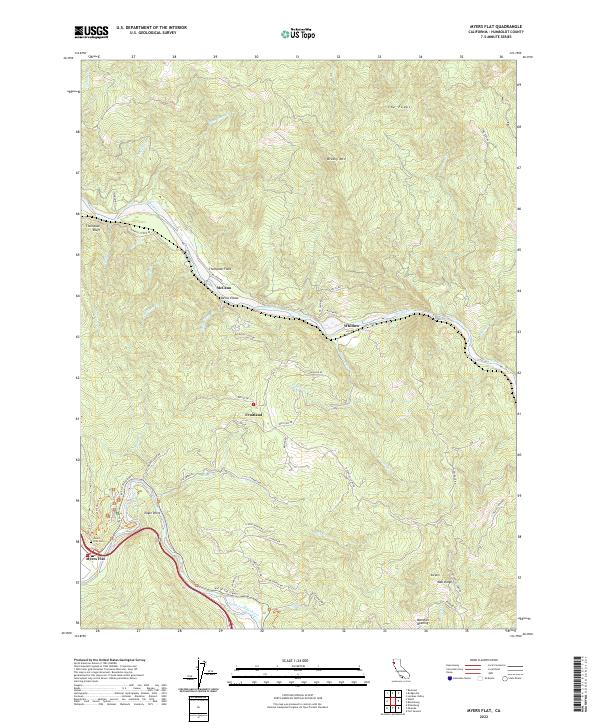
Myers Flat and the surrounding redwood country are defined by the convergence of the Eel River and its south fork. The famous Ave of the Giants corridor winds along the South Fork Eel River, providing a primary route through the steep terrain. Away from the main highway, smaller settlements like McCann, Fruitland, and Whitlow are connected by a network of ranch roads including Dyerville Loop Rd and McCann Rd. The topography is shaped by dramatic elevations such as Brushy Mtn and Eagle Point, with numerous drainage systems like Sequoia Cr and Bridge Cr carving deep into the landscape. Local family history is rooted in sites like the Myers Flat Cem and named clearings such as Thompson Field. The complex network of private ranch roads like Cathy Ranch Rd suggests a landscape long managed for timber and agriculture.
Find a feature on this map
62 named features on this map. Tap any name to fly to it.
Don’t see what you’re looking for? This feature index may not catch every label — zoom into the map to look around manually.
Map Details
Editions of this 2022 Myers Flat Map
This is the sole edition of this map. No revisions or reprints were ever made.
Historical Maps of Myers Flat Through Time
5 maps found