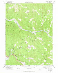
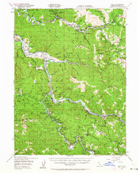
1969 Map of Myers Flat
USGS Topo · Published 1974About this map
Humboldt Redwoods State Park dominates the southwestern portion of this 1969 survey, where the Avenue of the Giants winds through numerous named stands of ancient timber, including Stephens Grove, Blair Grove, and Honor Grove. The landscape is defined by the steep, forested drainage of the Eel River and its major tributaries like Elk Creek and Thompson Creek. Along the riverbanks, the Northwestern Pacific railroad tracks trace the water's edge, connecting small settlements and clearings such as McCann and Fruitland.
Find a feature on this map
64 named features on this map. Tap any name to fly to it.
Don’t see what you’re looking for? This feature index may not catch every label — zoom into the map to look around manually.
Map Details
Editions of this 1969 Myers Flat Map
This is the sole edition of this map. No revisions or reprints were ever made.
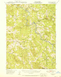
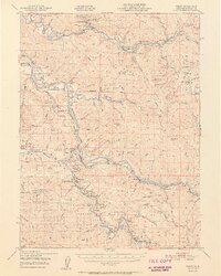
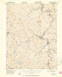
Other maps of this area

1920 · Harris
USGS Topo · 1:62,500

1921 · Dyerville
USGS Topo · 1:62,500

1921 · Briceland
USGS Topo · 1:62,500
1949 · Blocksburg
USGS Topo · 1:62,500
1949 · Alderpoint
USGS Topo · 1:62,500
1949 · Garberville
USGS Topo · 1:62,500
1949 · Weott
USGS Topo · 1:62,500
1951 · Alderpoint
USGS Topo · 1:62,500
1951 · Weott
USGS Topo · 1:62,500
1951 · Garberville
USGS Topo · 1:62,500