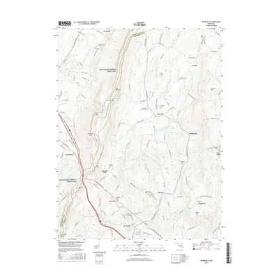
2016 Map of Myersville
USGS Topo · Published 2016About this map
South Mountain and the prominent ridge of Catoctin Mtn define the Maryland landscape of this 2016 survey, where the Appalachian National Scenic Trail winds along the high ground. The map details a rural network of small communities and family lineages, anchored by the town of Myersville and the neighboring settlements of Wolfsville, Ellerton, and Garfield. Notable topographic landmarks like Annapolis Rock and Black Rock overlook the valleys where agriculture and local heritage remain central to the geography.
Find a feature on this map
130 named features on this map. Tap any name to fly to it.
Don’t see what you’re looking for? This feature index may not catch every label — zoom into the map to look around manually.
Map Details
Editions of this 2016 Myersville Map
This is the sole edition of this map. No revisions or reprints were ever made.
Other maps of this area

1884 · Harpers Ferry
USGS Topo · 1:125,000

1891 · Harpers Ferry
USGS Topo · 1:125,000

1893 · Frederick
USGS Topo · 1:125,000

1893 · Harpers Ferry
USGS Topo · 1:125,000

1894 · Frederick
USGS Topo · 1:125,000

1908 · Middletown
USGS Topo · 1:48,000

1908 · Ijamsville
USGS Topo · 1:62,500

1909 · Ijamsville
USGS Topo · 1:62,500

1909 · Hagerstown
USGS Topo · 1:48,000

1910 · Antietam
USGS Topo · 1:62,500