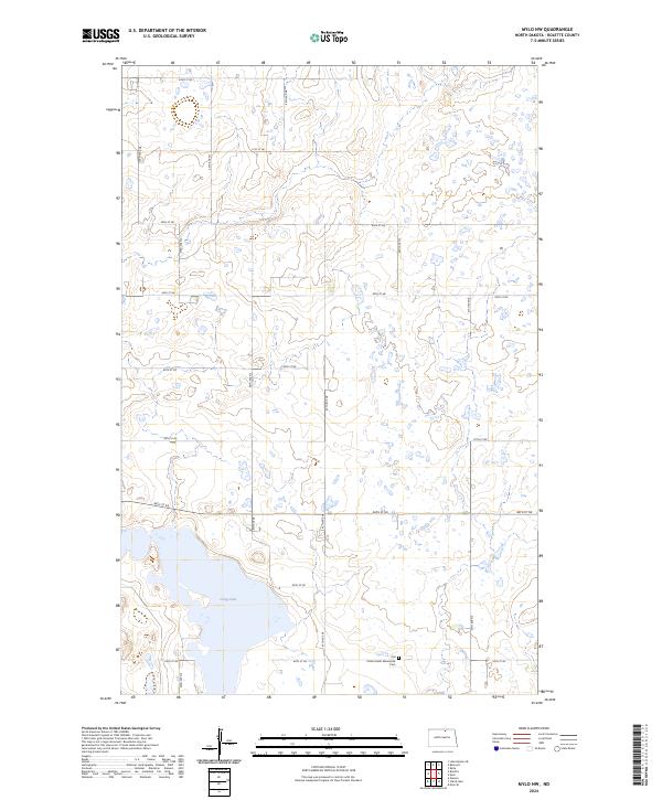
2024 Map of Mylo NW
USGS Topo · Published 2024About this map
Glacial prairie potholes and scattered wetlands define the landscape of this northern portion of the state. In the southern half of the sheet, the Rolette County Waterfowl Production Area borders the western shores of Long Lake, marking a significant conservation zone within the prairie. The terrain is largely organized by a strict sectional grid, with rural corridors such as 92nd St NE and 44th Ave NE providing access through the townships of t161n r70w and t160n r70w. A notable site for local history and genealogy is the Old Order Amish Mennonite Cem located near the southern boundary, reflecting the heritage of the rural community that has maintained this landscape.
Find a feature on this map
21 named features on this map. Tap any name to fly to it.
Don’t see what you’re looking for? This feature index may not catch every label — zoom into the map to look around manually.
Map Details
Editions of this 2024 Mylo NW Map
This is the sole edition of this map. No revisions or reprints were ever made.
Other maps of this area

1936 · Lake Upsilon
USGS Topo · 1:48,000

1942 · Lake Upsilon
USGS Topo · 1:62,500

1953 · Devils Lake
USGS Topo · 1:250,000

1956 · Devils Lake
USGS Topo · 1:250,000

1968 · Lake Upsilon SE
USGS Topo · 1:24,000

1968 · Belcourt
USGS Topo · 1:24,000

1970 · Rolla
USGS Topo · 1:24,000

1971 · Island Lake
USGS Topo · 1:24,000

1971 · Mylo
USGS Topo · 1:24,000

1971 · Mylo NW
USGS Topo · 1:24,000