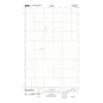
2011 Map of Mylo SE
USGS Topo · Published 2011About this map
Mylo Cemetery and Pleasant Valley Cemetery anchor this rural landscape in Rolette County, marking the burial sites of the farming families who settled this corner of the state. The terrain is characterized by a precise grid of sectional roads, including 50th Ave NE and 83rd St NE, which weave between numerous prairie potholes and small water bodies. These wetlands, captured in high detail by the 2009 National Hydrography Dataset, reveal a landscape where drainage patterns and agriculture are closely intertwined. The map provides a clear record of the local transportation network as it existed in the early 21st century, showing how modern county roads like 51st Ave NE and 81st St NE continue to follow the lines established during the initial settlement era.
Find a feature on this map
14 named features on this map. Tap any name to fly to it.
Don’t see what you’re looking for? This feature index may not catch every label — zoom into the map to look around manually.
Map Details
Editions of this 2011 Mylo SE Map
This is the sole edition of this map. No revisions or reprints were ever made.
Other maps of this area

1953 · Devils Lake
USGS Topo · 1:250,000

1956 · Devils Lake
USGS Topo · 1:250,000

1971 · Wolford
USGS Topo · 1:24,000

1971 · Bisbee South
USGS Topo · 1:24,000

1971 · Island Lake
USGS Topo · 1:24,000

1971 · Mylo
USGS Topo · 1:24,000

1971 · Hurricane Lake West
USGS Topo · 1:24,000

1971 · Bisbee North
USGS Topo · 1:24,000

1971 · Mylo NW
USGS Topo · 1:24,000

1971 · Mylo SE
USGS Topo · 1:24,000