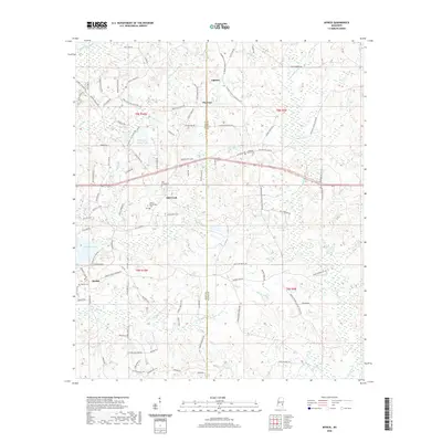
2020 Map of Myrick
USGS Topo · Published 2020About this map
Myrick and the surrounding rural communities of Mill Creek and Pineview sit along the dividing line between Jones and Wayne counties. The landscape is defined by its numerous small waterways, including Little Bogue Homo in the northwest and the winding course of E Tiger Cr to the south. This modern survey illustrates a pattern of rural settlement where development follows long-established routes like Pleasant Grove Sandersville Rd and Fairview Church Rd. For genealogists and local historians, the map provides precise locations for several family-linked landmarks and burial grounds, such as the Dennis Blackledge Cem and Pleasant Grove Cem. The area near Masonite Lake and Rolling Hills Ranch Lake shows how the local topography has been adapted for water management and recreation amidst the creek-fed lowlands and timbered ridges of eastern Mississippi.
Find a feature on this map
107 named features on this map. Tap any name to fly to it.
Don’t see what you’re looking for? This feature index may not catch every label — zoom into the map to look around manually.
Map Details
Editions of this 2020 Myrick Map
This is the sole edition of this map. No revisions or reprints were ever made.
Other maps of this area

1953 · Hattiesburg
USGS Topo · 1:250,000

1958 · Hattiesburg
USGS Topo · 1:250,000

1964 · Heidelberg SW
USGS Topo · 1:24,000

1964 · Sandersville
USGS Topo · 1:24,000

1964 · Eucutta
USGS Topo · 1:24,000

1964 · Laurel East
USGS Topo · 1:24,000

1964 · Myrick
USGS Topo · 1:24,000

1964 · Strengthford
USGS Topo · 1:24,000

1964 · Whistler
USGS Topo · 1:24,000

1964 · Lanham
USGS Topo · 1:24,000