
1937 Map of Myrtle Beach
USGS Topo · Published 1937About this map
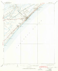
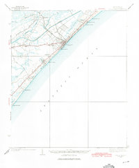
Myrtle Beach appears here as a developing coastal destination during the late 1930s, defined by the intersection of the new Intracoastal Waterway and the traditional Grand Strand coastline. This era reveals a landscape transitioning from the dense vegetation of Big Swamp and Withers Swamp toward a more modern infrastructure, evidenced by the Landing Field and the recently established Myrtle Beach State Park.
Find a feature on this map
35 named features on this map. Tap any name to fly to it.
Don’t see what you’re looking for? This feature index may not catch every label — zoom into the map to look around manually.
Map Details
Editions of this 1937 Myrtle Beach Map
3 editions found
Other maps of this area

1937 · Nixonville
USGS Topo · 1:48,000

1940 · Myrtle Beach
USGS Topo · 1:62,500

1942 · Nixonville
USGS Topo · 1:62,500

1942 · Magnolia Beach
USGS Topo · 1:24,000

1943 · Wampee
USGS Topo · 1:24,000

1943 · Bucksville
USGS Topo · 1:24,000

1943 · Brookgreen
USGS Topo · 1:24,000

1943 · Conway
USGS Topo · 1:24,000

1949 · Georgetown
USGS Topo · 1:250,000

1967 · Georgetown
USGS Topo · 1:250,000