
1940 Map of Myrtle Beach
USGS Topo · Published 1940About this map
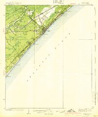
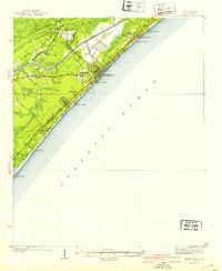
Myrtle Beach appears here in the years before mid-century development transformed the Grand Strand, showing a landscape defined by coastal wetlands and the newly completed Intracoastal Waterway. The town core is tightly clustered near Withers Swash, while the Atlantic Coast Line Railroad and Kings Highway serve as the primary conduits for travel and commerce. Inland, rural life persists in settlements like Socastee and Stalvey, centered around landmarks such as St Stephen Ch and Big Swamp Sch. Along the shoreline, early recreational and memorial sites are established, including Myrtle Beach State Park and Oceanwood Memorial Park. The map documents a specific coastal geography where numerous natural inlets, such as Deephead Swash and Canepatch Swash, dictated the placement of early roads and the Ocean Forest Club.
Find a feature on this map
34 named features on this map. Tap any name to fly to it.
Don’t see what you’re looking for? This feature index may not catch every label — zoom into the map to look around manually.
Map Details
Editions of this 1940 Myrtle Beach Map
3 editions found
Other maps of this area

1937 · Myrtle Beach
USGS Topo · 1:48,000

1937 · Nixonville
USGS Topo · 1:48,000

1942 · Nixonville
USGS Topo · 1:62,500

1942 · Magnolia Beach
USGS Topo · 1:24,000

1943 · Wampee
USGS Topo · 1:24,000

1943 · Bucksville
USGS Topo · 1:24,000

1943 · Brookgreen
USGS Topo · 1:24,000

1943 · Conway
USGS Topo · 1:24,000

1949 · Georgetown
USGS Topo · 1:250,000

1967 · Georgetown
USGS Topo · 1:250,000