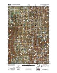
2011 Map of Myrtle Park Meadows
USGS Topo · Published 2011About this map
Myrtle Park Meadows and the surrounding high country of Harney County are defined by a network of seasonal water sources and grazing lands. In the early 21st century, this area of the Malheur National Forest remains a working landscape, evidenced by Clemens Ranch and the Bennett Cabin situated near the headwaters of Myrtle Creek and Silvies River. The terrain is marked by distinct topographical features like Burnt Mountain and Gold Hill, interspersed with flats such as Crane Flats and Mud Flat. Extensive forest roads, including Nat For Dev Rd 31 and Myrtle Park Rd, provide access to numerous named springs like Old Road Camp Spring and Rawhide Spring, which have long served as vital points for livestock and forest management in this arid region of Eastern Oregon.
Find a feature on this map
44 named features on this map. Tap any name to fly to it.
Don’t see what you’re looking for? This feature index may not catch every label — zoom into the map to look around manually.
Map Details
Editions of this 2011 Myrtle Park Meadows Map
This is the sole edition of this map. No revisions or reprints were ever made.
Other maps of this area

1955 · Burns
USGS Topo · 1:250,000

1955 · Canyon City
USGS Topo · 1:250,000

1958 · Burns
USGS Topo · 1:250,000

1959 · Burns
USGS Topo · 1:250,000

1959 · Canyon City
USGS Topo · 1:250,000

1959 · West Myrtle Butte
USGS Topo · 1:62,500

1961 · Calamity Butte
USGS Topo · 1:62,500

1961 · Logdell
USGS Topo · 1:62,500

1961 · Seneca
USGS Topo · 1:62,500

1978 · John Day
USGS Topo · 1:100,000