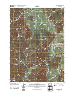
2011 Map of Myrtle Point
USGS Topo · Published 2011About this map
Myrtle Point serves as the focal point of this 2011 survey, situated at the confluence of the Coquille River and its south fork. The river valley defines the local economy and geography, evidenced by the Myrtle Point Log Pond and the extensive Coquille Valley lowlands. Small agricultural and residential pockets like Arago, Norway, and Broadbent are scattered along the watercourses, each maintaining their own identities through local institutions like the Norway Post Office and Broadbent Post Office.
Find a feature on this map
80 named features on this map. Tap any name to fly to it.
Don’t see what you’re looking for? This feature index may not catch every label — zoom into the map to look around manually.
Map Details
Editions of this 2011 Myrtle Point Map
This is the sole edition of this map. No revisions or reprints were ever made.
Other maps of this area

1896 · Coos Bay
USGS Topo · 1:125,000

1898 · Coos Bay
USGS Topo · 1:125,000

1899 · Port Orford
USGS Topo · 1:125,000

1900 · Coos Bay
USGS Topo · 1:125,000

1903 · Port Orford
USGS Topo · 1:125,000

1942 · Coquille
USGS Topo · 1:62,500

1943 · Bandon
USGS Topo · 1:62,500

1944 · Bandon
USGS Topo · 1:62,500

1945 · Coquille
USGS Topo · 1:62,500

1954 · Coos Bay
USGS Topo · 1:250,000