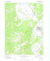
1971 Map of Myrtle Point
USGS Topo · Published 1973About this map
Myrtle Point serves as the primary hub of this 1970s survey, where the South Fork Coquille River meets the main Coquille River valley. The map documents an area defined by its timber and river economy, featuring numerous logging roads and specialized infrastructure such as a Landing Strip and the County Fairgrounds. The rail-centric history of the region is evident through the presence of the Southern Pacific and Coquille Railroad lines winding through the lowlands.
Find a feature on this map
48 named features on this map. Tap any name to fly to it.
Don’t see what you’re looking for? This feature index may not catch every label — zoom into the map to look around manually.
Map Details
Editions of this 1971 Myrtle Point Map
This is the sole edition of this map. No revisions or reprints were ever made.
Other maps of this area

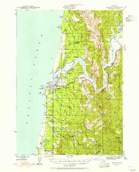
1896 · Coos Bay
USGS Topo · 1:125,000

1898 · Coos Bay
USGS Topo · 1:125,000

1899 · Port Orford
USGS Topo · 1:125,000

1900 · Coos Bay
USGS Topo · 1:125,000

1903 · Port Orford
USGS Topo · 1:125,000

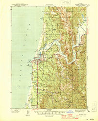
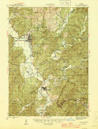
1942 · Coquille
USGS Topo · 1:62,500
1943 · Bandon
USGS Topo · 1:62,500
1944 · Bandon
USGS Topo · 1:62,500
1945 · Coquille
USGS Topo · 1:62,500

1954 · Coos Bay
USGS Topo · 1:250,000