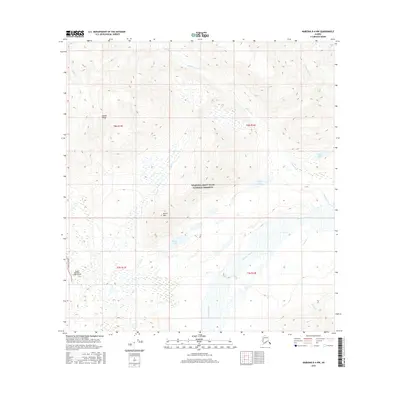
2016 Map of Nabesna B-4 NW
USGS Topo · Published 2016About this map
The Alaska Range serves as a dramatic backdrop for this portion of the Wrangell-Saint Elias National Preserve. The landscape is defined by the braided channels of the Nabesna River and Jack Cr, which meander through a basin filled with numerous small wetlands and lakes, including Windy Lake and Gillam Lake. Human activity is concentrated along the western edge of the quadrangle, where Nabesna Road provides access to the Devils Mountain Lodge Airport.
Find a feature on this map
19 named features on this map. Tap any name to fly to it.
Don’t see what you’re looking for? This feature index may not catch every label — zoom into the map to look around manually.
Map Details
Editions of this 2016 Nabesna B-4 NW Map
This is the sole edition of this map. No revisions or reprints were ever made.
Other maps of this area

1950 · Nabesna
USGS Topo · 1:250,000

1951 · Nabesna
USGS Topo · 1:250,000

1957 · Nabesna C-5
USGS Topo · 1:63,360

1960 · Nabesna B-4
USGS Topo · 1:63,360

1960 · Nabesna B-5
USGS Topo · 1:63,360

1960 · Nabesna
USGS Topo · 1:250,000

1960 · Nabesna C-4
USGS Topo · 1:63,360
1960 · Nabesna C-5
USGS Topo · 1:63,360
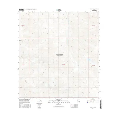
2016 · Nabesna B-4 SE
USGS Topo · 1:25,000
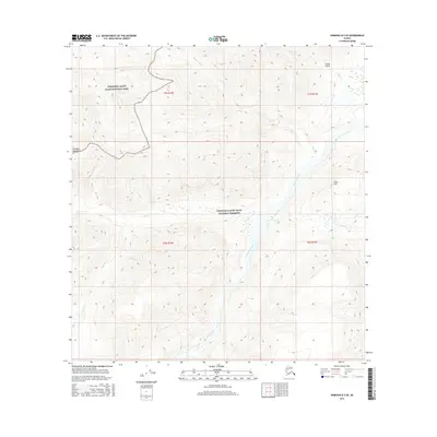
2016 · Nabesna B-5 SE
USGS Topo · 1:25,000