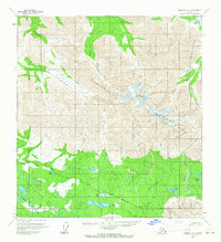
1960 Map of Nabesna C-5
USGS Topo · Published 1966About this map
The Mentasta Mountains dominate this 1960s landscape, with Noyes Mountain serving as a primary high point. The terrain is defined by a network of seasonal watercourses and remote access routes, including a Tractor Trail and a Pack Trail that cut through the high elevations. To the east, the boundary of the Tetlin Indian Reservation runs along the Tetlin River, marking a transition in land use and jurisdiction. The southern lowlands are dotted with several significant water bodies such as Jacks Lake, Twin Lakes, and Big Grayling Lake. Evidence of human presence is sparse, limited to a few scattered Cabins and a Gravel Pit near Caribou Creek. This survey captures the interior's drainage patterns, where the Little Tok River and Suslositna Creek carve through the foothills before reaching the more level basins below.
Find a feature on this map
28 named features on this map. Tap any name to fly to it.
Don’t see what you’re looking for? This feature index may not catch every label — zoom into the map to look around manually.
Map Details
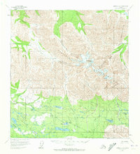
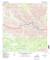
Editions of this 1960 Nabesna C-5 Map
3 editions found
Other maps of this area

1948 · Nabesna C-6
USGS Topo · 1:63,360

1948 · Nabesna D-5
USGS Topo · 1:63,360

1949 · Nabesna D-6
USGS Topo · 1:63,360

1950 · Nabesna
USGS Topo · 1:250,000

1950 · Nabesna D-5
USGS Topo · 1:63,360

1951 · Nabesna
USGS Topo · 1:250,000

1952 · Nabesna C-6
USGS Topo · 1:63,360

1952 · Nabesna D-5
USGS Topo · 1:63,360

1952 · Nabesna D-6
USGS Topo · 1:63,360

1954 · Nabesna D-4
USGS Topo · 1:63,360