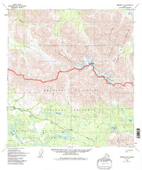
1960 Map of Nabesna C-5
USGS Topo · Published 1992About this map
Nabesna Road serves as the primary artery through this interior landscape, providing access to the high alpine terrain where the Mentasta Mountains meet the Wrangell - St Elias National Park. The survey illustrates a region defined by its complex hydrology, from the northern flow of the Little Tok River to the southern drainages of Tanada Creek and Jack Lake. Small-scale human activity is scattered throughout, noted by isolated cabins and a Landing Strip that suggest the seasonal and remote nature of travel and habitation in this part of the Copper River basin.
Find a feature on this map
31 named features on this map. Tap any name to fly to it.
Don’t see what you’re looking for? This feature index may not catch every label — zoom into the map to look around manually.
Map Details
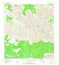
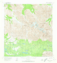
Editions of this 1960 Nabesna C-5 Map
3 editions found
Other maps of this area

1948 · Nabesna C-6
USGS Topo · 1:63,360

1948 · Nabesna D-5
USGS Topo · 1:63,360

1949 · Nabesna D-6
USGS Topo · 1:63,360

1950 · Nabesna
USGS Topo · 1:250,000

1950 · Nabesna D-5
USGS Topo · 1:63,360

1951 · Nabesna
USGS Topo · 1:250,000

1952 · Nabesna C-6
USGS Topo · 1:63,360

1952 · Nabesna D-5
USGS Topo · 1:63,360

1952 · Nabesna D-6
USGS Topo · 1:63,360

1954 · Nabesna D-4
USGS Topo · 1:63,360