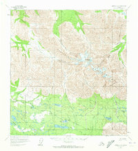
1960 Map of Nabesna C-5
USGS Topo · Published 1973About this map
The Mentasta Mountains dominate this 1960 landscape, where the high-altitude terrain of Noyes Mountain transitions into a complex drainage system of creeks and glacial lakes. Human activity in this remote Alaskan wilderness is evidenced by the presence of a Tractor Trail and a Landing Strip near Twin Lakes, indicating the logistical challenges of the era. To the south, a dense network of water bodies includes Jack Lake, Big Grayling Lake, and Long Lake, which feed into Jack Creek and Nabesna Creek.
Find a feature on this map
27 named features on this map. Tap any name to fly to it.
Don’t see what you’re looking for? This feature index may not catch every label — zoom into the map to look around manually.
Map Details
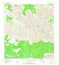
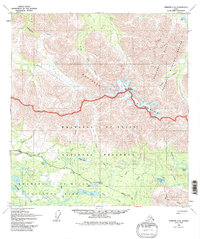
Editions of this 1960 Nabesna C-5 Map
3 editions found
Other maps of this area

1948 · Nabesna C-6
USGS Topo · 1:63,360

1948 · Nabesna D-5
USGS Topo · 1:63,360

1949 · Nabesna D-6
USGS Topo · 1:63,360

1950 · Nabesna
USGS Topo · 1:250,000

1950 · Nabesna D-5
USGS Topo · 1:63,360

1951 · Nabesna
USGS Topo · 1:250,000

1952 · Nabesna C-6
USGS Topo · 1:63,360

1952 · Nabesna D-5
USGS Topo · 1:63,360

1952 · Nabesna D-6
USGS Topo · 1:63,360

1954 · Nabesna D-4
USGS Topo · 1:63,360