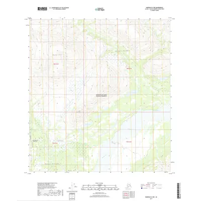
2019 Map of Nabesna B-4 NW
USGS Topo · Published 2019About this map
The Nabesna River flows through the heart of the Wrangell-St. Elias National Preserve in this 2019 survey, documenting a landscape defined by high peaks and river drainage. To the north, the Mentasta Mountains and Boyden Hills rise above the river valley, while the southern portion of the map is dominated by the Wrangell Mountains and the Raven Hills.
Find a feature on this map
22 named features on this map. Tap any name to fly to it.
Don’t see what you’re looking for? This feature index may not catch every label — zoom into the map to look around manually.
Map Details
Editions of this 2019 Nabesna B-4 NW Map
This is the sole edition of this map. No revisions or reprints were ever made.
Other maps of this area

1950 · Nabesna
USGS Topo · 1:250,000

1951 · Nabesna
USGS Topo · 1:250,000

1957 · Nabesna C-5
USGS Topo · 1:63,360

1960 · Nabesna B-4
USGS Topo · 1:63,360

1960 · Nabesna B-5
USGS Topo · 1:63,360

1960 · Nabesna
USGS Topo · 1:250,000

1960 · Nabesna C-4
USGS Topo · 1:63,360
1960 · Nabesna C-5
USGS Topo · 1:63,360
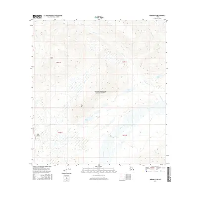
2016 · Nabesna B-4 NW
USGS Topo · 1:25,000
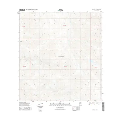
2016 · Nabesna B-4 SE
USGS Topo · 1:25,000