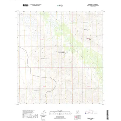
2019 Map of Nabesna B-5 NE
USGS Topo · Published 2019About this map
Nabesna marks a primary point of access into a high-altitude landscape defined by the convergence of the Mentasta Mountains and the Wrangell Mountains. The territory is bisected by the Nabesna Road, which serves as a vital corridor through the Wrangell-St. Elias National Preserve and toward the Wrangell-St. Elias National Park. The drainage patterns here are complex, with glacial and mountain meltwater feeding into Jack Cr, Skookum Cr, and Canyon Cr.
Find a feature on this map
18 named features on this map. Tap any name to fly to it.
Don’t see what you’re looking for? This feature index may not catch every label — zoom into the map to look around manually.
Map Details
Editions of this 2019 Nabesna B-5 NE Map
This is the sole edition of this map. No revisions or reprints were ever made.
Other maps of this area

1950 · Nabesna
USGS Topo · 1:250,000

1951 · Nabesna
USGS Topo · 1:250,000

1957 · Nabesna C-5
USGS Topo · 1:63,360

1960 · Nabesna B-4
USGS Topo · 1:63,360

1960 · Nabesna B-5
USGS Topo · 1:63,360

1960 · Nabesna
USGS Topo · 1:250,000

1960 · Nabesna C-4
USGS Topo · 1:63,360
1960 · Nabesna C-5
USGS Topo · 1:63,360
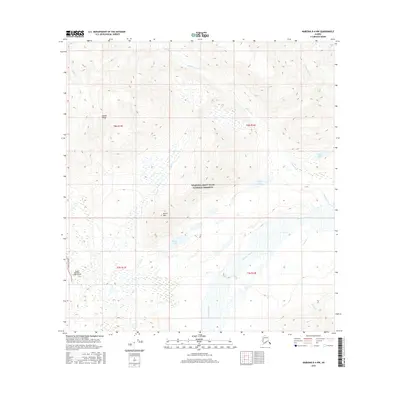
2016 · Nabesna B-4 NW
USGS Topo · 1:25,000
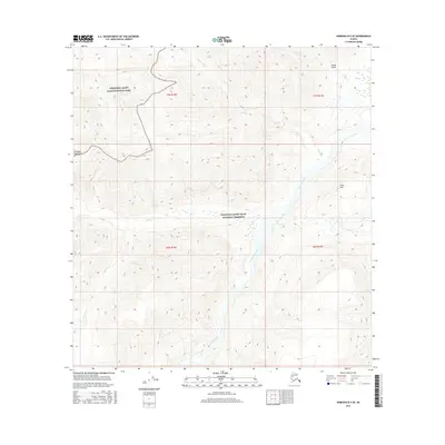
2016 · Nabesna B-5 SE
USGS Topo · 1:25,000