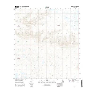
2016 Map of Nabesna C-2 NW
USGS Topo · Published 2016About this map
Tahamund Lake and its smaller neighbors, Jatamund Lake and Jatahmuud Lake, dominate the northern and eastern portions of this Alaskan landscape within the Unorganized Borough. The terrain is defined by the Black Hills in the southeast, where elevation contours reveal a series of ridges and basins typical of this interior region. This 2016 survey, produced by the U.S. Geological Survey with data assistance from the Alaska Dept. of Transportation, illustrates the complex hydrography of the area, including the isolated Takomahto Lake to the southwest. The map provides precise Public Land Survey System data for Townships t11n r18e, t11n r19e, t10n r18e, and t10n r19e, making it a valuable tool for understanding land boundaries and natural drainage patterns in a territory where traditional named settlements are absent.
Find a feature on this map
9 named features on this map. Tap any name to fly to it.
Don’t see what you’re looking for? This feature index may not catch every label — zoom into the map to look around manually.
Map Details
Editions of this 2016 Nabesna C-2 NW Map
This is the sole edition of this map. No revisions or reprints were ever made.
Other maps of this area

1950 · Nabesna
USGS Topo · 1:250,000

1951 · Nabesna
USGS Topo · 1:250,000

1954 · Nabesna D-2
USGS Topo · 1:63,360

1954 · Nabesna D-3
USGS Topo · 1:63,360

1954 · Nabesna C-3
USGS Topo · 1:63,360

1955 · Nabesna C-2
USGS Topo · 1:63,360

1955 · Nabesna D-3
USGS Topo · 1:63,360

1955 · Nabesna C-3
USGS Topo · 1:63,360

1955 · Nabesna D-2
USGS Topo · 1:63,360

1960 · Nabesna
USGS Topo · 1:250,000