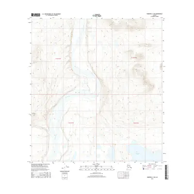
2016 Map of Nabesna C-3 NE
USGS Topo · Published 2016About this map
Nabesna River winds through this interior Alaskan landscape, defining the central valley as it flows between high-elevation ridges. The braiding pattern of the river suggests a dynamic glacial-fed system typical of the Unorganized Borough, where shifting channels create a complex network of gravel bars and seasonal waterways. To the south, the terrain descends toward the shores of Jatahmund Lake, a significant water body situated at the base of the surrounding highlands. Notable landmarks like Hill Point provide vantage points over the river corridor, which historically served as a primary transportation artery in a region with few established roads. The map captures a largely undeveloped wilderness, documented with precise 20-foot contours that reveal the sharp elevation changes between the river basin and the high peaks of the neighboring ranges.
Find a feature on this map
7 named features on this map. Tap any name to fly to it.
Don’t see what you’re looking for? This feature index may not catch every label — zoom into the map to look around manually.
Map Details
Editions of this 2016 Nabesna C-3 NE Map
This is the sole edition of this map. No revisions or reprints were ever made.
Other maps of this area

1950 · Nabesna
USGS Topo · 1:250,000

1951 · Nabesna
USGS Topo · 1:250,000

1954 · Nabesna D-2
USGS Topo · 1:63,360

1954 · Nabesna D-3
USGS Topo · 1:63,360

1954 · Nabesna C-3
USGS Topo · 1:63,360

1955 · Nabesna C-2
USGS Topo · 1:63,360

1955 · Nabesna D-3
USGS Topo · 1:63,360

1955 · Nabesna C-3
USGS Topo · 1:63,360

1955 · Nabesna D-2
USGS Topo · 1:63,360

1960 · Nabesna
USGS Topo · 1:250,000