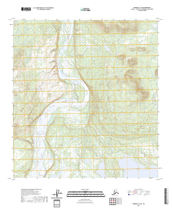
2023 Map of Nabesna C-3 NE
USGS Topo · Published 2023About this map
Tetlin National Wildlife Refuge encompasses a significant portion of this interior Alaskan landscape, characterized by an intricate network of wetlands and braided waterways. The Nabesna River dominates the central corridor, winding through a complex system of marshes and smaller ponds that reflect the dynamic nature of the Tanana River valley basin. To the southeast, the open waters of Jatahmund Lake provide a prominent landmark within the refuge boundaries, while the Cheslina River cuts through the northwest corner of the sheet. The terrain rises toward the Black Hills in the northeast and reaches a distinct elevation at Hill Point, offering a clear view of the contrast between the low-lying alluvial plains and the surrounding uplands. This survey documents the preserved natural state of the Southeast Fairbanks region, highlighting the intersection of riverine ecosystems and interior highlands.
Find a feature on this map
10 named features on this map. Tap any name to fly to it.
Don’t see what you’re looking for? This feature index may not catch every label — zoom into the map to look around manually.
Map Details
Editions of this 2023 Nabesna C-3 NE Map
This is the sole edition of this map. No revisions or reprints were ever made.
Other maps of this area

1950 · Nabesna
USGS Topo · 1:250,000

1951 · Nabesna
USGS Topo · 1:250,000

1954 · Nabesna D-2
USGS Topo · 1:63,360

1954 · Nabesna D-3
USGS Topo · 1:63,360

1954 · Nabesna C-3
USGS Topo · 1:63,360

1955 · Nabesna C-2
USGS Topo · 1:63,360

1955 · Nabesna D-3
USGS Topo · 1:63,360

1955 · Nabesna C-3
USGS Topo · 1:63,360

1955 · Nabesna D-2
USGS Topo · 1:63,360

1960 · Nabesna
USGS Topo · 1:250,000