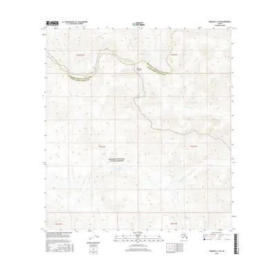
2016 Map of Nabesna C-4 SW
USGS Topo · Published 2016About this map
The Mentasta Mountains dominate the northern terrain of this remote Alaskan interior, where the high ridges separate the Southeast Fairbanks and Valdez-Cordova Census Areas. Below these peaks, the southern half of the map is largely contained within the Wrangell-Saint Elias National Preserve, a vast protected wilderness characterized by a complex network of glacial and snow-melt drainage. A unique hydrologic pocket exists near the center, where Mineral Springs and Soda Lake sit in a basin alongside Soda Cr. The landscape is further defined by the braided and meandering paths of the Cheslina River to the north and the extensive Totschunda Creek system to the southeast. These named watercourses, including the mineral-suggestive Platinum Cr, indicate the geological diversity of this high-latitude terrain during the early 21st century.
Find a feature on this map
16 named features on this map. Tap any name to fly to it.
Don’t see what you’re looking for? This feature index may not catch every label — zoom into the map to look around manually.
Map Details
Editions of this 2016 Nabesna C-4 SW Map
This is the sole edition of this map. No revisions or reprints were ever made.
Other maps of this area

1950 · Nabesna
USGS Topo · 1:250,000

1951 · Nabesna
USGS Topo · 1:250,000

1957 · Nabesna C-5
USGS Topo · 1:63,360

1960 · Nabesna B-4
USGS Topo · 1:63,360

1960 · Nabesna B-5
USGS Topo · 1:63,360

1960 · Nabesna
USGS Topo · 1:250,000

1960 · Nabesna C-4
USGS Topo · 1:63,360
1960 · Nabesna C-5
USGS Topo · 1:63,360
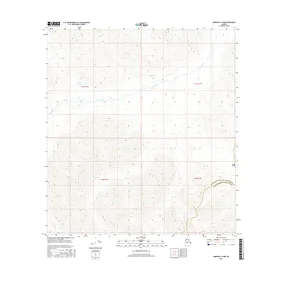
2016 · Nabesna C-4 NW
USGS Topo · 1:25,000
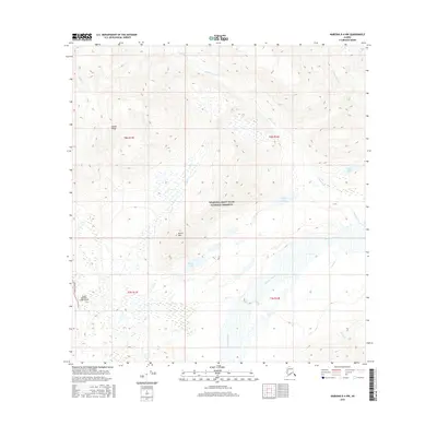
2016 · Nabesna B-4 NW
USGS Topo · 1:25,000