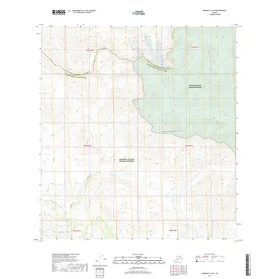
2019 Map of Nabesna C-4 SW
USGS Topo · Published 2019About this map
The Mentasta Mountains dominate this remote Alaskan interior landscape, where conservation boundaries intersect in a high-elevation wilderness. This 2019 survey documents the southeastern edge of the Tetlin National Wildlife Refuge as it meets the vast Wrangell-St. Elias National Preserve. The terrain is defined by complex drainage systems, including the headwaters of the Cheslina River and the braided path of Totschunda Creek. A solitary human trace, the Soda Lake Trail, winds through the western portion of the map, providing the primary access point toward Soda Lake and the nearby Mineral Spring. To the south, the Boyden Hills rise above tributary waters like Platinum Cr, illustrating the glacial and tectonic forces that continue to shape this portion of the Unorganized Borough.
Find a feature on this map
19 named features on this map. Tap any name to fly to it.
Don’t see what you’re looking for? This feature index may not catch every label — zoom into the map to look around manually.
Map Details
Editions of this 2019 Nabesna C-4 SW Map
This is the sole edition of this map. No revisions or reprints were ever made.
Other maps of this area

1950 · Nabesna
USGS Topo · 1:250,000

1951 · Nabesna
USGS Topo · 1:250,000

1957 · Nabesna C-5
USGS Topo · 1:63,360

1960 · Nabesna B-4
USGS Topo · 1:63,360

1960 · Nabesna B-5
USGS Topo · 1:63,360

1960 · Nabesna
USGS Topo · 1:250,000

1960 · Nabesna C-4
USGS Topo · 1:63,360
1960 · Nabesna C-5
USGS Topo · 1:63,360
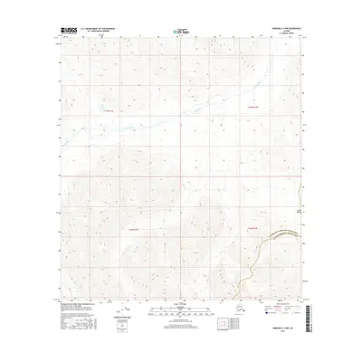
2016 · Nabesna C-4 NW
USGS Topo · 1:25,000
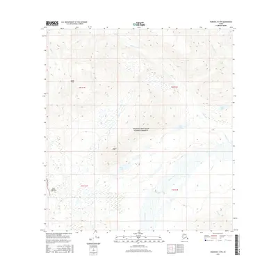
2016 · Nabesna B-4 NW
USGS Topo · 1:25,000