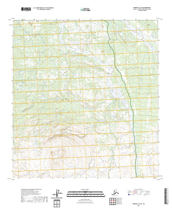
2023 Map of Nabesna C-6 SW
USGS Topo · Published 2023About this map
The Copper River drainage defines this interior landscape, where the confluence of several glacial and mountain streams creates a complex network of wetlands and braided channels. Near the settlement of Slana, the topography transitions from the alluvial plains of Tanada Creek and Caribou Creek into the protected expanses of the Wrangell-Saint Elias National Park and the Wrangell-St. Elias Wilderness. This 2023 survey illustrates a wilderness interface where human presence is sparse, centered primarily on the corridor near the northern boundary. Water features like Drop Creek and the remote Boomerang Lake dominate the terrain, indicating a landscape shaped by seasonal flow and the high-elevation hydrology of the Copper River Census Area.
Find a feature on this map
15 named features on this map. Tap any name to fly to it.
Don’t see what you’re looking for? This feature index may not catch every label — zoom into the map to look around manually.
Map Details
Editions of this 2023 Nabesna C-6 SW Map
This is the sole edition of this map. No revisions or reprints were ever made.
Other maps of this area

1948 · Nabesna C-6
USGS Topo · 1:63,360

1949 · Gulkana C-1
USGS Topo · 1:63,360

1950 · Nabesna
USGS Topo · 1:250,000

1951 · Gulkana
USGS Topo · 1:250,000

1951 · Nabesna
USGS Topo · 1:250,000

1952 · Nabesna C-6
USGS Topo · 1:63,360

1952 · Gulkana C-1
USGS Topo · 1:63,360

1959 · Gulkana B-1
USGS Topo · 1:63,360

1959 · Gulkana
USGS Topo · 1:250,000

1960 · Nabesna
USGS Topo · 1:250,000