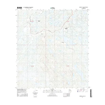
2016 Map of Nabesna D-2 NW
USGS Topo · Published 2016About this map
Northway Village and Charlieskin Village anchor this landscape where the Nabesna River and Chisana River influence the terrain. The presence of the Northway Airport and named thoroughfares like Northway Road and Lodge Drive indicate a settled interior within a vast network of wetlands and open water. The map reveals a high density of named water bodies, including Tontethaimund Lake, Hudeue Lake, and the aptly named Cemetery Lake near the village core. This area, marked by complex sloughs and creek systems such as Moose Cr and Open Cr, reflects the traditional and modern infrastructure of a region deeply connected to its riverine environment. The proximity of the Northway settlement to Long Lake and Fish Lake highlights the importance of these natural resources for local navigation and subsistence.
Find a feature on this map
31 named features on this map. Tap any name to fly to it.
Don’t see what you’re looking for? This feature index may not catch every label — zoom into the map to look around manually.
Map Details
Editions of this 2016 Nabesna D-2 NW Map
This is the sole edition of this map. No revisions or reprints were ever made.
Other maps of this area

1948 · Tanacross A-3
USGS Topo · 1:63,360

1949 · Tanacross
USGS Topo · 1:250,000

1950 · Tanacross
USGS Topo · 1:250,000

1950 · Nabesna
USGS Topo · 1:250,000

1951 · Nabesna
USGS Topo · 1:250,000

1952 · Tanacross A-3
USGS Topo · 1:63,360

1954 · Tanacross A-2
USGS Topo · 1:63,360

1954 · Nabesna D-2
USGS Topo · 1:63,360

1954 · Nabesna D-3
USGS Topo · 1:63,360

1955 · Nabesna D-3
USGS Topo · 1:63,360