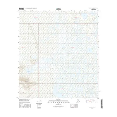
2016 Map of Nabesna D-2 SW
USGS Topo · Published 2016About this map
Birch Lake and Chidek Lake sit within an expansive watery corridor in this northern section of the Unorganized Borough. This 2016 survey illustrates a landscape dominated by complex drainage systems and isolated elevations, where the Black Hills and Schonthida Hill rise above the surrounding wetlands in the southwest. The intricate hydrology is evidenced by numerous named bodies such as Clearwater Lake, Deep Lake, and Mundthag Lake, many of which are connected by seasonal waterways like Chindaglukne Cr. This map is particularly valuable for its record of indigenous and local names for geographic features, including Klunathkada Hill and Tahamund Lake, providing a clear view of the region's topography before significant modern development altered these remote drainages.
Find a feature on this map
18 named features on this map. Tap any name to fly to it.
Don’t see what you’re looking for? This feature index may not catch every label — zoom into the map to look around manually.
Map Details
Editions of this 2016 Nabesna D-2 SW Map
This is the sole edition of this map. No revisions or reprints were ever made.
Other maps of this area

1950 · Nabesna
USGS Topo · 1:250,000

1951 · Nabesna
USGS Topo · 1:250,000

1954 · Nabesna D-2
USGS Topo · 1:63,360

1954 · Nabesna D-3
USGS Topo · 1:63,360

1954 · Nabesna C-3
USGS Topo · 1:63,360

1955 · Nabesna C-2
USGS Topo · 1:63,360

1955 · Nabesna D-3
USGS Topo · 1:63,360

1955 · Nabesna C-3
USGS Topo · 1:63,360

1955 · Nabesna D-2
USGS Topo · 1:63,360

1960 · Nabesna
USGS Topo · 1:250,000