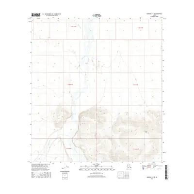
2016 Map of Nabesna D-3 SE
USGS Topo · Published 2016About this map
Nabesna River dominates this interior landscape as it braids through the center of the quadrangle, joined from the west by the Kalutna River and Cheslina River. The terrain transitions from the wide, shifting gravel bars and wetlands of the river valley to the rising elevation of the Black Hills in the southeast. This 2016 survey provides a record of the hydrological patterns and topographic relief in a roadless portion of the Alaskan interior, where the glacial-fed waters dictate the character of the land. The absence of permanent settlements or infrastructure highlights the isolation of this region within the Unorganized Borough, where traditional land use and natural processes remain primary.
Find a feature on this map
10 named features on this map. Tap any name to fly to it.
Don’t see what you’re looking for? This feature index may not catch every label — zoom into the map to look around manually.
Map Details
Editions of this 2016 Nabesna D-3 SE Map
This is the sole edition of this map. No revisions or reprints were ever made.
Other maps of this area

1950 · Nabesna
USGS Topo · 1:250,000

1951 · Nabesna
USGS Topo · 1:250,000

1954 · Nabesna D-2
USGS Topo · 1:63,360

1954 · Nabesna D-3
USGS Topo · 1:63,360

1954 · Nabesna C-3
USGS Topo · 1:63,360

1955 · Nabesna C-2
USGS Topo · 1:63,360

1955 · Nabesna D-3
USGS Topo · 1:63,360

1955 · Nabesna C-3
USGS Topo · 1:63,360

1955 · Nabesna D-2
USGS Topo · 1:63,360

1960 · Nabesna
USGS Topo · 1:250,000