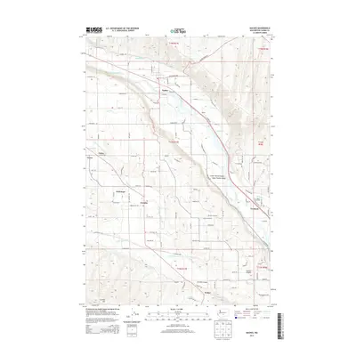
2013 Map of Naches
USGS Topo · Published 2013About this map
Naches River and its accompanying Wapatox Canal dominate the northern landscape of this Yakima County region, providing the essential water supply for a network of irrigation ditches like Kelly Ditch and Lowry Ditch. This intricate water management system transformed the Lower Naches Valley into a productive agricultural hub, supporting operations such as Grand G Orchards and the Doble Orchard. The map illustrates the transition from the river valley floor to the prominent Cowiche Mtn in the southwest.
Find a feature on this map
101 named features on this map. Tap any name to fly to it.
Don’t see what you’re looking for? This feature index may not catch every label — zoom into the map to look around manually.
Map Details
Editions of this 2013 Naches Map
This is the sole edition of this map. No revisions or reprints were ever made.
Other maps of this area

1899 · Ellensburg
USGS Topo · 1:125,000

1901 · Ellensburg
USGS Topo · 1:125,000

1950 · Yakima
USGS Topo · 1:250,000

1958 · Ellensburg
USGS Topo · 1:62,500
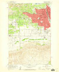
1958 · Yakima West
USGS Topo · 1:24,000
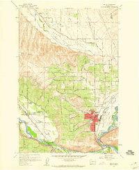
1958 · Selah
USGS Topo · 1:24,000

1958 · Wiley City
USGS Topo · 1:24,000

1958 · Naches
USGS Topo · 1:24,000

1958 · Yakima
USGS Topo · 1:250,000

1961 · Yakima
USGS Topo · 1:250,000