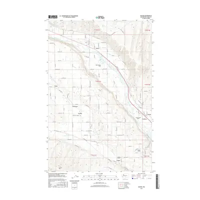
2017 Map of Naches
USGS Topo · Published 2017About this map
The Naches River corridor defines this landscape, where a sophisticated network of irrigation infrastructure supports the agricultural vitality of the Upper Naches Valley. Water management is central to the area's history, evidenced by the Wapatox Canal, Lowry Ditch, and Gleed Ditch, which channel resources to the surrounding orchards and fields. Smaller settlements such as Holtzinger, Eschbach, and Gleed are situated along these waterways and transport routes, reflecting the region's development around fruit production and processing.
Find a feature on this map
114 named features on this map. Tap any name to fly to it.
Don’t see what you’re looking for? This feature index may not catch every label — zoom into the map to look around manually.
Map Details
Editions of this 2017 Naches Map
This is the sole edition of this map. No revisions or reprints were ever made.
Other maps of this area

1899 · Ellensburg
USGS Topo · 1:125,000

1901 · Ellensburg
USGS Topo · 1:125,000

1950 · Yakima
USGS Topo · 1:250,000

1958 · Ellensburg
USGS Topo · 1:62,500
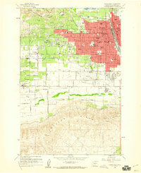
1958 · Yakima West
USGS Topo · 1:24,000
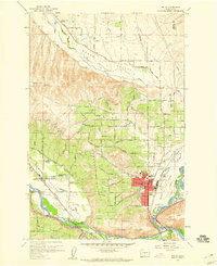
1958 · Selah
USGS Topo · 1:24,000

1958 · Wiley City
USGS Topo · 1:24,000

1958 · Naches
USGS Topo · 1:24,000

1958 · Yakima
USGS Topo · 1:250,000

1961 · Yakima
USGS Topo · 1:250,000