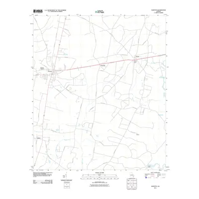
2011 Map of Nahunta
USGS Topo · Published 2011About this map
The town of Nahunta and its central Nahunta Post Office serve as the hub of this Brantley County landscape, situated where local routes meet the rail corridor. The map details a transition from the structured street grid of the town center to the dispersed rural settlements of Prosperity, Lulaton, and Hickox. To the east, the Satilla River carves a winding path past Buies Bluff, surrounded by smaller water bodies like Buck Lake and Gator Lake. Genealogists may find interest in the isolated location of Knox Cemetery south of the Brantley County Airport. The terrain is heavily defined by drainage systems, including the extensive Buffalo Creek and Mill Creek networks, which dictate the placement of county roads. This survey illustrates the relationship between the small-town infrastructure of Burton Terrace and the broader agricultural and forested wetlands typical of this region.
Find a feature on this map
49 named features on this map. Tap any name to fly to it.
Don’t see what you’re looking for? This feature index may not catch every label — zoom into the map to look around manually.
Map Details
Editions of this 2011 Nahunta Map
This is the sole edition of this map. No revisions or reprints were ever made.
Other maps of this area

1917 · Nahunta
USGS Topo · 1:62,500

1918 · Hortense
USGS Topo · 1:62,500

1918 · Nahunta
USGS Topo · 1:62,500

1944 · Hortense
USGS Topo · 1:62,500

1946 · Brunswick
USGS Topo · 1:250,000

1948 · Brunswick
USGS Topo · 1:250,000

1953 · Waycross
USGS Topo · 1:250,000

1956 · Brunswick
USGS Topo · 1:250,000

1958 · Waycross
USGS Topo · 1:250,000

1961 · Brunswick
USGS Topo · 1:250,000