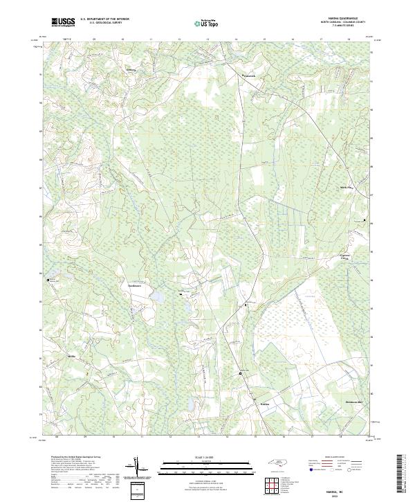
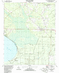
2022 Map of Nakina
USGS Topo · Published 2022About this map
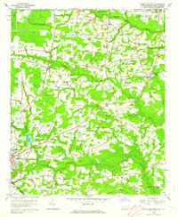
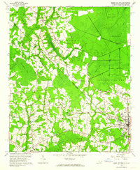
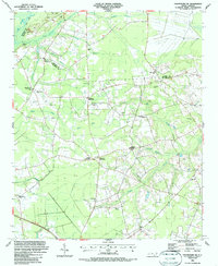
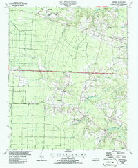
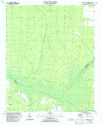
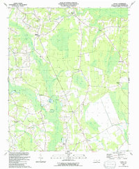
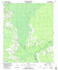
Nakina and the surrounding coastal plain of Columbus County are defined by an intricate network of wetlands and scattered family settlements. The landscape is characterized by numerous bays and swamps, such as Big Bay, Cattail Bay, and the extensive Beaver Dam Swamp in the north. These natural depressions and drainages, including Mollie Swamp and Gum Swamp, have historically dictated the placement of roads and homesteads, creating a pattern of dispersed communities connected by winding routes like Poley Bridge Church Rd and Lee Ward Rd.
Find a feature on this map
86 named features on this map. Tap any name to fly to it.
Don’t see what you’re looking for? This feature index may not catch every label — zoom into the map to look around manually.
Map Details
Editions of this 2022 Nakina Map
This is the sole edition of this map. No revisions or reprints were ever made.
Historical Maps of Antioch Through Time
24 maps found
1942 Juniper Creek
Columbus County, NC
1943 Nakina
Columbus County, NC

1943 Pireway
Columbus County, NC
1953 Pireway
Columbus County, NC
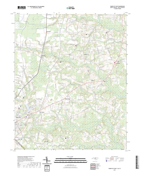
1962 Tabor City East
Columbus County, NC
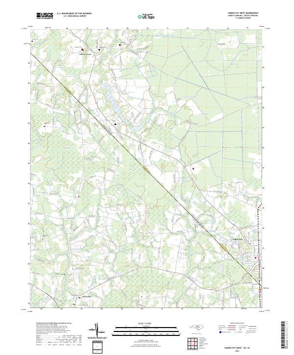
1962 Tabor City West
Columbus County, NC
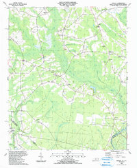
1986 Chadbourn NE
Columbus County, NC
1986 Freeman
Columbus County, NC
1986 Lake Waccamaw East
Columbus County, NC

1987 Lake Waccamaw West
Columbus County, NC
1990 Juniper Creek
Columbus County, NC
1990 Nakina
Columbus County, NC
1990 Old Dock
Columbus County, NC
1990 Pireway
Columbus County, NC
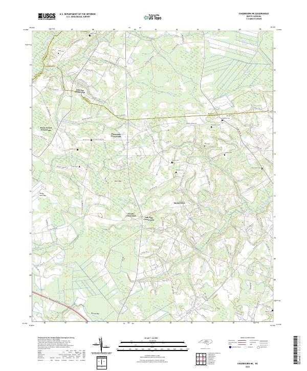
2022 Chadbourn NE
Columbus County, NC
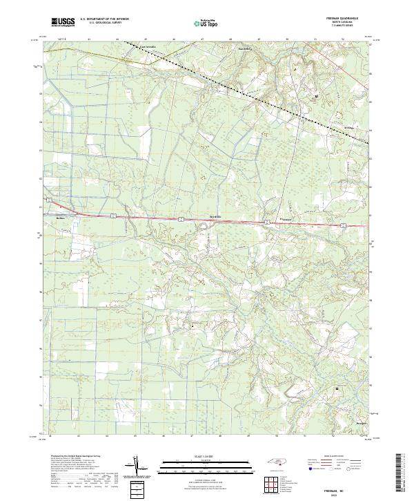
2022 Freeman
Columbus County, NC
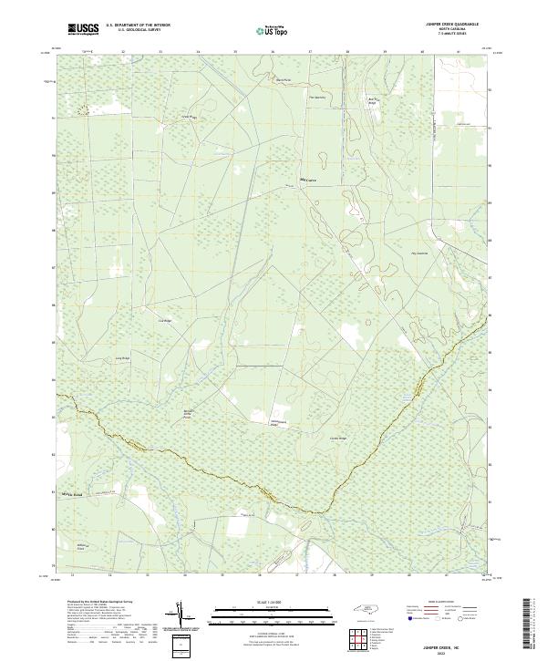
2022 Juniper Creek
Columbus County, NC
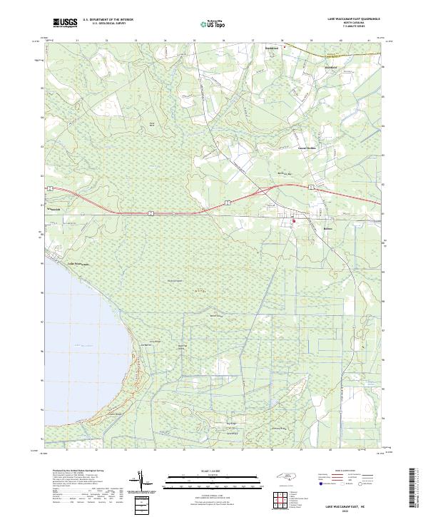
2022 Lake Waccamaw East
Columbus County, NC
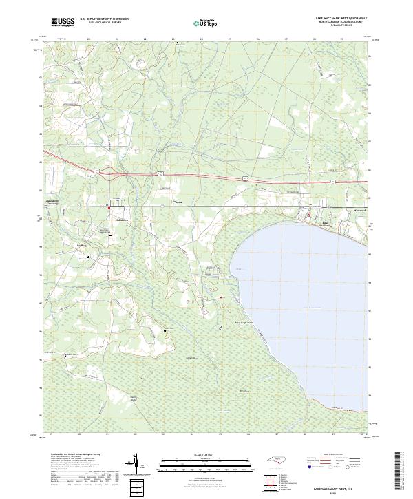
2022 Lake Waccamaw West
Columbus County, NC
2022 Nakina
Columbus County, NC
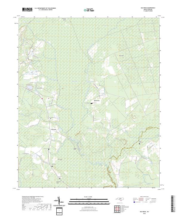
2022 Old Dock
Columbus County, NC
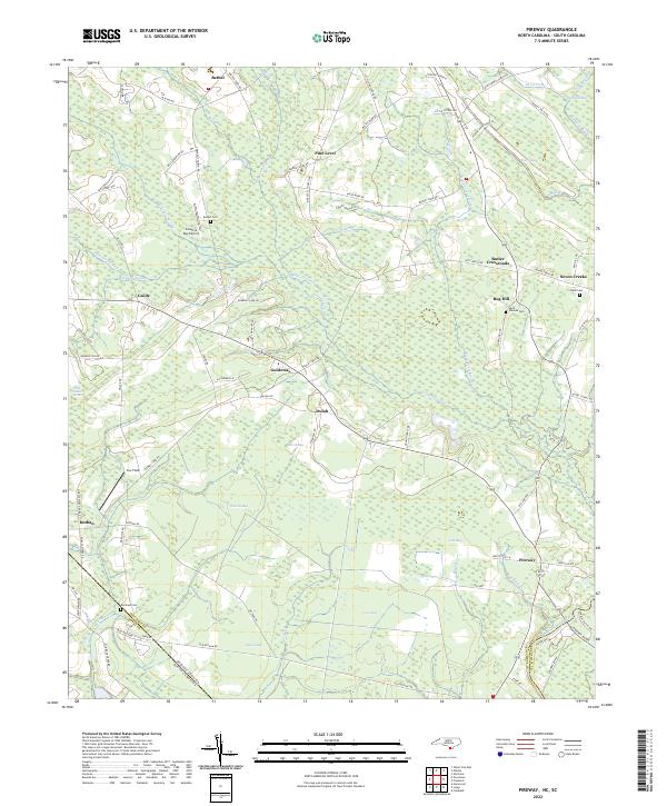
2022 Pireway
Columbus County, NC
2022 Tabor City East
Columbus County, NC
2022 Tabor City West
Columbus County, NC