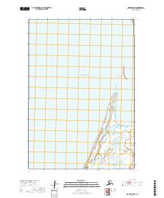
2019 Map of Naknek A-5 NW
USGS Topo · Published 2019About this map
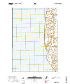
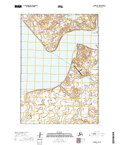
Bristol Bay dominates this coastal survey, where the waters of the Bering Sea meet the intricate shoreline of the Alaska Peninsula. The landscape is defined by its shifting coastal morphology, specifically the prominent landforms of Goose Point and the elongated South Spit. This 2019 edition details the complex network of tidal flats and coastal wetlands that characterize the southwestern reach of the Lake and Peninsula Borough. The map's grid reflects the expansive nature of the region, providing a precise look at the township and range lines across this largely uninhabited shoreline where land and sea constantly reconfigure the terrain.
Find a feature on this map
9 named features on this map. Tap any name to fly to it.
Don’t see what you’re looking for? This feature index may not catch every label — zoom into the map to look around manually.
Map Details
Editions of this 2019 Naknek A-5 NW Map
This is the sole edition of this map. No revisions or reprints were ever made.
Other maps of this area

1951 · Naknek A-5
USGS Topo · 1:63,360

1952 · Naknek
USGS Topo · 1:250,000

1952 · Naknek B-5
USGS Topo · 1:63,360

1964 · Naknek
USGS Topo · 1:250,000
2019 · Naknek A-5 SW
USGS Topo · 1:25,000
2019 · Naknek B-5 SE
USGS Topo · 1:25,000
2019 · Naknek A-5 SE
USGS Topo · 1:25,000
2019 · Naknek B-5 SW
USGS Topo · 1:25,000
2019 · Naknek A-5 NE
USGS Topo · 1:25,000