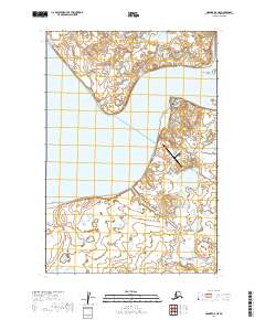
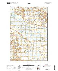
2019 Map of Naknek A-5 NE
USGS Topo · Published 2019About this map
The coastal village of Egegik sits at the critical junction where the Egegik River meets the expansive Egegik Bay. This 2019 survey documents the essential infrastructure of this remote Bristol Bay community, including the Egegik Airport and a small network of local thoroughfares like Hudville Rd and Chiefes Road. The landscape is defined by its complex hydrology, where the King Salmon River flows past King Salmon Island into the tidal estuary.
Find a feature on this map
19 named features on this map. Tap any name to fly to it.
Don’t see what you’re looking for? This feature index may not catch every label — zoom into the map to look around manually.
Map Details
Editions of this 2019 Naknek A-5 NE Map
This is the sole edition of this map. No revisions or reprints were ever made.
Other maps of this area

1951 · Naknek A-5
USGS Topo · 1:63,360

1951 · Naknek A-4
USGS Topo · 1:63,360

1952 · Naknek
USGS Topo · 1:250,000

1952 · Naknek B-4
USGS Topo · 1:63,360

1952 · Naknek B-5
USGS Topo · 1:63,360

1964 · Naknek
USGS Topo · 1:250,000
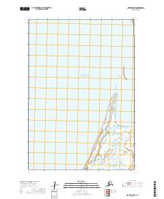
2019 · Naknek A-5 NW
USGS Topo · 1:25,000
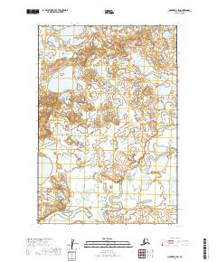
2019 · Naknek B-4 SW
USGS Topo · 1:25,000
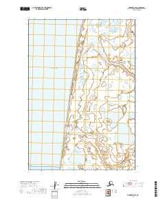
2019 · Naknek A-5 SW
USGS Topo · 1:25,000
2019 · Naknek A-4 NW
USGS Topo · 1:25,000