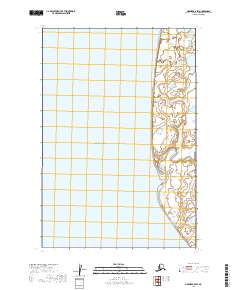
2019 Map of Naknek B-5 SW
USGS Topo · Published 2019About this map
Bristol Bay dominates this coastal survey, where the open waters of the bering sea meet the intricate shoreline of the Alaska Peninsula. The landscape is defined by the prominent Cape Chichagof to the north, a significant navigational landmark along this stretch of coast. Inland from the bay, the terrain is characterized by the winding path of Big Creek, which snakes through low-lying coastal wetlands before reaching the salt water. This area represents a largely undeveloped wilderness within the Township 21 South, Range 51 West and surrounding survey blocks. The map provides a precise view of the interface between the tidal flats and the inland tundra, showing the complex hydrology of small ponds and estuaries that shift with the tides near the mouth of the creek.
Find a feature on this map
7 named features on this map. Tap any name to fly to it.
Don’t see what you’re looking for? This feature index may not catch every label — zoom into the map to look around manually.
Map Details
Editions of this 2019 Naknek B-5 SW Map
This is the sole edition of this map. No revisions or reprints were ever made.
Other maps of this area

1951 · Naknek A-5
USGS Topo · 1:63,360

1952 · Naknek
USGS Topo · 1:250,000

1952 · Naknek B-5
USGS Topo · 1:63,360

1964 · Naknek
USGS Topo · 1:250,000
2019 · Naknek A-5 NW
USGS Topo · 1:25,000
2019 · Naknek B-5 NE
USGS Topo · 1:25,000
2019 · Naknek B-5 NW
USGS Topo · 1:25,000
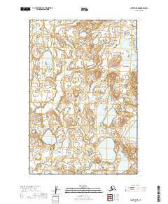
2019 · Naknek B-5 SE
USGS Topo · 1:25,000
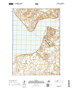
2019 · Naknek A-5 NE
USGS Topo · 1:25,000