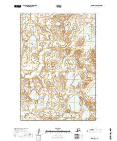
2019 Map of Naknek B-5 SE
USGS Topo · Published 2019About this map
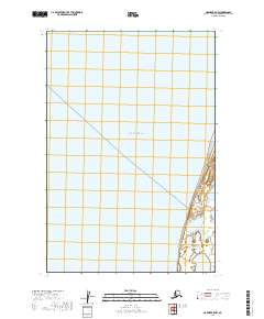
Wetlands and intricate water systems dominate this landscape in the Lake and Peninsula Borough. The winding course of Big Creek (also labeled Big Cr) meanders through the central terrain, while Bishop Cr flows through the southern portion of the sheet. This 2019 survey illustrates the dense concentration of unnamed ponds and glacial lakes that characterize this remote Alaskan environment, which remains largely untouched by roads or permanent structures. The detailed hydrography provided by the National Hydrography Dataset reveals a complex network of drainage and low-lying basins that define the local geography. These patterns of water and land provide a technical look at the drainage systems essential for environmental researchers and those studying the interior hydrology of southwest Alaska.
Find a feature on this map
7 named features on this map. Tap any name to fly to it.
Don’t see what you’re looking for? This feature index may not catch every label — zoom into the map to look around manually.
Map Details
Editions of this 2019 Naknek B-5 SE Map
This is the sole edition of this map. No revisions or reprints were ever made.
Other maps of this area

1951 · Naknek A-5
USGS Topo · 1:63,360

1951 · Naknek A-4
USGS Topo · 1:63,360

1952 · Naknek
USGS Topo · 1:250,000

1952 · Naknek B-4
USGS Topo · 1:63,360

1952 · Naknek B-5
USGS Topo · 1:63,360

1964 · Naknek
USGS Topo · 1:250,000
2019 · Naknek B-4 NW
USGS Topo · 1:25,000
2019 · Naknek A-5 NW
USGS Topo · 1:25,000
2019 · Naknek B-5 NE
USGS Topo · 1:25,000
2019 · Naknek B-5 NW
USGS Topo · 1:25,000