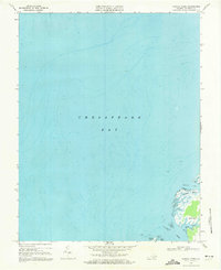
1968 Map of Nandua Creek
USGS Topo · Published 1971About this map
Chesapeake Bay dominates this late-1960s hydrographic survey, revealing the intricate shoreline where the Eastern Shore meets the open water. The landscape is defined by the deep indentations of Nandua Creek and its tributaries, including Butcher Creek and Back Creek. These tidal waterways carve out the peninsula of Hacks Neck, a landform characterized by extensive Tidal Flats and wetlands such as Hyslop Marsh.
Find a feature on this map
10 named features on this map. Tap any name to fly to it.
Don’t see what you’re looking for? This feature index may not catch every label — zoom into the map to look around manually.
Map Details
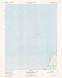
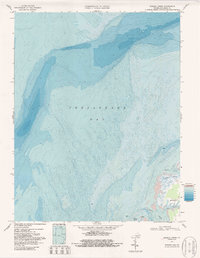
Editions of this 1968 Nandua Creek Map
3 editions found
Other maps of this area

1903 · Crisfield
USGS Topo · 1:62,500

1917 · Ewell
USGS Topo · 1:62,500

1920 · Crisfield
USGS Topo · 1:62,500

1942 · Chesconessex
USGS Topo · 1:31,680

1942 · Nandua Creek
USGS Topo · 1:24,000

1942 · Tangier Island
USGS Topo · 1:24,000

1943 · Jamesville
USGS Topo · 1:31,680

1943 · Pungoteague
USGS Topo · 1:31,680
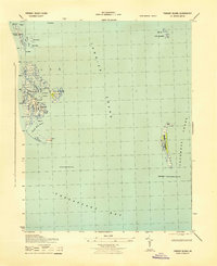
1943 · Tangier Island
USGS Topo · 1:31,680

1943 · Exmore
USGS Topo · 1:24,000