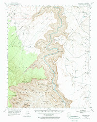
1954 Map of Nankoweap
USGS Topo · Published 1970About this map
The Colorado River carves a deep path through this mid-century survey, dividing the high Kaibab Plateau from the Eminence Indian Reservation. In the 1950s, this area remained largely inaccessible except by river or trail, as shown by the remote Cliff Dwellings tucked into the walls of Nankoweap Canyon. The river corridor is punctuated by notorious navigational points like President Harding Rapids and Nankoweap Rapids, while a single Tramway tower on Tatahatso Point suggests specialized industrial or scientific efforts to bridge the gorge. High-elevation landmarks like Mount Hayden and Point Imperial overlook a landscape of complex drainage basins, including South Canyon and Shinumo Wash, where isolated sites like Buffalo Ranch and Big Sheep Corral reveal the area's sparse ranching history amidst the massive geological formations.
Find a feature on this map
67 named features on this map. Tap any name to fly to it.
Don’t see what you’re looking for? This feature index may not catch every label — zoom into the map to look around manually.
Map Details
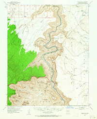
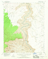
Editions of this 1954 Nankoweap Map
4 editions found

Other maps of this area

1886 · Echo Cliffs
USGS Topo · 1:250,000

1886 · Kaibab
USGS Topo · 1:250,000

1891 · Echo Cliffs
USGS Topo · 1:250,000

1903 · Bright Angel
USGS Topo · 1:48,000

1906 · Bright Angel
USGS Topo · 1:48,000

1907 · Vishnu
USGS Topo · 1:48,000

1936 · Jacobs Lake
USGS Topo · 1:48,000

1940 · Jacob Lake
USGS Topo · 1:62,500

1953 · Jacobs Lake
USGS Topo · 1:62,500

1953 · Grand Canyon
USGS Topo · 1:250,000