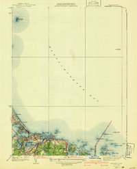
1941 Map of Nantasket
USGS Topo · Published 1941About this map
Massachusetts Bay defines this 1930s coastal survey, where maritime navigation is anchored by prominent landmarks like the Boston Lightship and the isolated Minots Ledge Lighthouse. The shoreline transitions from the developed barrier of Nantasket Beach through the rocky coves of Cohasset and Scituate. Inland, the landscape reflects a mix of seasonal recreation and established local infrastructure, including the Cohasset Golf Club and educational sites such as the Canterbury Sch and Patriot Sch.
Find a feature on this map
38 named features on this map. Tap any name to fly to it.
Don’t see what you’re looking for? This feature index may not catch every label — zoom into the map to look around manually.
Map Details
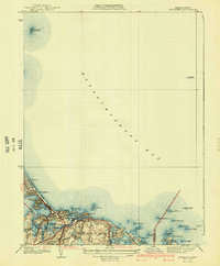
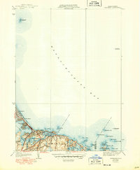
Editions of this 1941 Nantasket Map
3 editions found
Other maps of this area

1885 · Abington
USGS Topo · 1:62,500

1885 · Duxbury
USGS Topo · 1:62,500

1888 · Duxbury
USGS Topo · 1:62,500

1888 · Abington
USGS Topo · 1:62,500

1892 · Boston Bay
USGS Topo · 1:62,500

1893 · Abington
USGS Topo · 1:62,500

1893 · Duxbury
USGS Topo · 1:62,500

1903 · Boston Bay
USGS Topo · 1:62,500

1918 · Duxbury
USGS Topo · 1:62,500

1920 · Abington
USGS Topo · 1:62,500