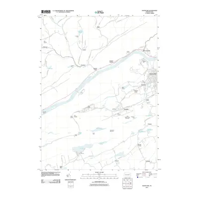
2010 Map of Nanticoke
USGS Topo · Published 2010About this map
Nanticoke serves as the focal point of this region, situated along the Susquehanna River and anchored by its industrial and mining history. The landscape transitions from the urbanized streets of Sheatown and Alden to the prominent ridges of Penobscot Mountain and Little Wilkes-Barre Mountain. This area is characterized by a dense collection of community anchors, including several religious grounds such as Saint Marys Cemetery and Holy Trinity Cemetery, and the notable Lee Mine near the eastern edge.
Find a feature on this map
89 named features on this map. Tap any name to fly to it.
Don’t see what you’re looking for? This feature index may not catch every label — zoom into the map to look around manually.
Map Details
Editions of this 2010 Nanticoke Map
This is the sole edition of this map. No revisions or reprints were ever made.
Other maps of this area

1891 · Wilkesbarre
USGS Topo · 1:62,500

1891 · Harveys Lake
USGS Topo · 1:62,500

1893 · Harvey Lake
USGS Topo · 1:62,500

1893 · Pittston
USGS Topo · 1:62,500

1894 · Shickshinny
USGS Topo · 1:62,500

1894 · Wilkesbarre
USGS Topo · 1:62,500

1943 · Scranton
USGS Topo · 1:125,000

1946 · Sybertsville
USGS Topo · 1:31,680

1946 · Nanticoke
USGS Topo · 1:31,680

1946 · Shickshinny
USGS Topo · 1:31,680