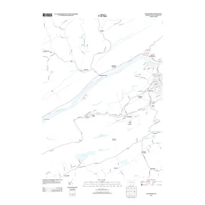
2013 Map of Nanticoke
USGS Topo · Published 2013About this map
The Susquehanna River carves through this Luzerne County landscape, separating the northern valley settlements of Hunlock and West Nanticoke from the industrial corridors to the south. In the early 21st century, the southern half of the map shows a dense concentration of mining-era towns and neighborhoods, including Glen Lyon, Wanamie, and Alden. These communities are situated along the base of Little Wilkes-Barre Mountain, where the infrastructure of the anthracite coal region remains visible through the network of local streets and landmarks like the Half Penny Barn Tunnel.
Find a feature on this map
137 named features on this map. Tap any name to fly to it.
Don’t see what you’re looking for? This feature index may not catch every label — zoom into the map to look around manually.
Map Details
Editions of this 2013 Nanticoke Map
This is the sole edition of this map. No revisions or reprints were ever made.
Other maps of this area

1891 · Wilkesbarre
USGS Topo · 1:62,500

1891 · Harveys Lake
USGS Topo · 1:62,500

1893 · Harvey Lake
USGS Topo · 1:62,500

1893 · Pittston
USGS Topo · 1:62,500

1894 · Shickshinny
USGS Topo · 1:62,500

1894 · Wilkesbarre
USGS Topo · 1:62,500

1943 · Scranton
USGS Topo · 1:125,000

1946 · Sybertsville
USGS Topo · 1:31,680

1946 · Nanticoke
USGS Topo · 1:31,680

1946 · Shickshinny
USGS Topo · 1:31,680