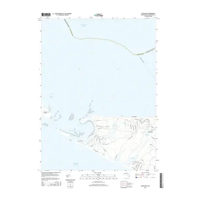
2015 Map of Nantucket
USGS Topo · Published 2015About this map
Atlantic Ocean waters surround the western reaches of the island, where a complex network of coastal ponds and narrow sand spits defines the coastline. Inland from Dionis Beach, the landscape is a patchwork of small kettle ponds including Washing Pond, Maxcy Pond, and Capaum Pond. The western end of the island shows a concentration of residential development near the Head of Hummock, with numerous small roads like Swift Rock Rd and Bishops Rise Rd serving the area.
Find a feature on this map
55 named features on this map. Tap any name to fly to it.
Don’t see what you’re looking for? This feature index may not catch every label — zoom into the map to look around manually.
Map Details
Editions of this 2015 Nantucket Map
This is the sole edition of this map. No revisions or reprints were ever made.
Other maps of this area

1887 · Muskeget
USGS Topo · 1:62,500

1889 · Muskeget
USGS Topo · 1:62,500

1889 · Nantucket
USGS Topo · 1:62,500

1893 · Nantucket
USGS Topo · 1:62,500

1893 · Muskeget
USGS Topo · 1:62,500

1899 · Muskeget
USGS Topo · 1:62,500

1901 · Nantucket
USGS Topo · 1:62,500

1942 · Nantucket
USGS Topo · 1:125,000

1944 · Tuckernuck Island
USGS Topo · 1:31,680

1945 · Nantucket
USGS Topo · 1:31,680