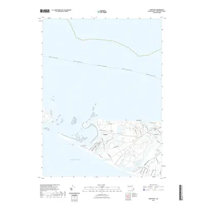
2021 Map of Nantucket
USGS Topo · Published 2021About this map
Madaket anchors the western end of the island in this modern survey, revealing a landscape defined by its intricate shoreline and maritime history. The coastal interface is particularly complex here, with the long reach of Eel Point sheltering Eel Point Marsh and the North Pond. Moving inland, the terrain is pocketed with numerous water bodies, from the larger expanse of Hummock Pond to smaller features like Washing Pond and the curious Peat Hole.
Find a feature on this map
58 named features on this map. Tap any name to fly to it.
Don’t see what you’re looking for? This feature index may not catch every label — zoom into the map to look around manually.
Map Details
Editions of this 2021 Nantucket Map
This is the sole edition of this map. No revisions or reprints were ever made.
Other maps of this area

1887 · Muskeget
USGS Topo · 1:62,500

1889 · Muskeget
USGS Topo · 1:62,500

1889 · Nantucket
USGS Topo · 1:62,500

1893 · Nantucket
USGS Topo · 1:62,500

1893 · Muskeget
USGS Topo · 1:62,500

1899 · Muskeget
USGS Topo · 1:62,500

1901 · Nantucket
USGS Topo · 1:62,500

1942 · Nantucket
USGS Topo · 1:125,000

1944 · Tuckernuck Island
USGS Topo · 1:31,680

1945 · Nantucket
USGS Topo · 1:31,680