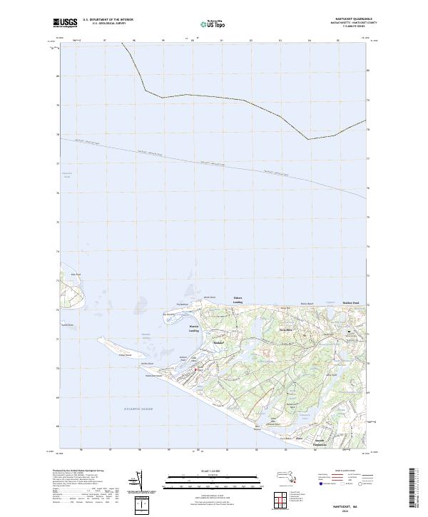
2024 Map of Nantucket
USGS Topo · Published 2024About this map
Eel Point and the western reaches of Nantucket Island reveal a landscape defined by an intricate network of coastal ponds and low-lying marshes. The settlement at Madaket serves as a western hub, connected to the rest of the island by Madaket Rd, while smaller communities like Warren Landing and Fishers Landing dot the northern shore overlooking Madaket Harbor. This coastal topography is highly dynamic, with Esther Island and Smith Point forming a shifting barrier between the Nantucket Sound and the Atlantic Ocean.
Find a feature on this map
81 named features on this map. Tap any name to fly to it.
Don’t see what you’re looking for? This feature index may not catch every label — zoom into the map to look around manually.
Map Details
Editions of this 2024 Nantucket Map
This is the sole edition of this map. No revisions or reprints were ever made.
Other maps of this area

1887 · Muskeget
USGS Topo · 1:62,500

1889 · Muskeget
USGS Topo · 1:62,500

1889 · Nantucket
USGS Topo · 1:62,500

1893 · Nantucket
USGS Topo · 1:62,500

1893 · Muskeget
USGS Topo · 1:62,500

1899 · Muskeget
USGS Topo · 1:62,500

1901 · Nantucket
USGS Topo · 1:62,500

1942 · Nantucket
USGS Topo · 1:125,000

1944 · Tuckernuck Island
USGS Topo · 1:31,680

1945 · Nantucket
USGS Topo · 1:31,680