2012 Map of Nantucket OE S
USGS Topo · Published 2012About this map
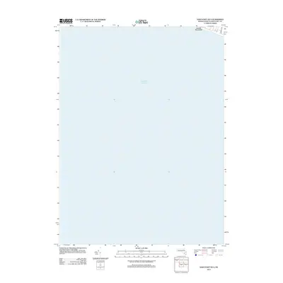
The coastal area of Smooth Hummocks on Nantucket Island is defined by its transition into the vast expanse of the Atlantic Ocean. This 2012 survey documents the southernmost reaches of the island where the land meets the sea, primarily showing open terrain and the coastal shelf. Human infrastructure is minimal in this specific quadrangle, limited to the edge of the residential area near Somerset Rd in the northeastern corner. The map provides a precise look at the shoreline position and the geographic orientation of the hummocks before they give way to the open water, serving as a clean record of the island's southern perimeter.
Find a feature on this map
4 named features on this map. Tap any name to fly to it.
Don’t see what you’re looking for? This feature index may not catch every label — zoom into the map to look around manually.
Map Details
Editions of this 2012 Nantucket OE S Map
This is the sole edition of this map. No revisions or reprints were ever made.
Other maps of this area

1887 · Muskeget
USGS Topo · 1:62,500

1889 · Muskeget
USGS Topo · 1:62,500

1889 · Nantucket
USGS Topo · 1:62,500

1893 · Nantucket
USGS Topo · 1:62,500

1893 · Muskeget
USGS Topo · 1:62,500

1899 · Muskeget
USGS Topo · 1:62,500

1901 · Nantucket
USGS Topo · 1:62,500

1942 · Nantucket
USGS Topo · 1:125,000

1944 · Tuckernuck Island
USGS Topo · 1:31,680

1945 · Nantucket
USGS Topo · 1:31,680