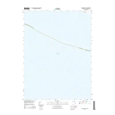
2015 Map of Nantucket OE S
USGS Topo · Published 2015About this map
The Atlantic Ocean dominates this offshore survey south of Nantucket, capturing the open waters and the maritime boundary of Nantucket County. This specific area, mapped in 2015, represents a nearly purely aquatic quadrant, with the only terrestrial presence appearing at the extreme northeastern corner. Here, a small segment of land is bisected by Mattapoisett Rd, a local connector on the island's southern fringe. Because this map focuses on the waters of the Atlantic Ocean, it serves as a precise record of the shoreline and maritime jurisdictional limits at a time when digital mapping data for elevation was not yet meeting accuracy requirements for contouring. It is a vital document for those studying the coastal orientation and administrative reach of Massachusetts into the sea.
Find a feature on this map
4 named features on this map. Tap any name to fly to it.
Don’t see what you’re looking for? This feature index may not catch every label — zoom into the map to look around manually.
Map Details
Editions of this 2015 Nantucket OE S Map
This is the sole edition of this map. No revisions or reprints were ever made.
Other maps of this area

1887 · Muskeget
USGS Topo · 1:62,500

1889 · Muskeget
USGS Topo · 1:62,500

1889 · Nantucket
USGS Topo · 1:62,500

1893 · Nantucket
USGS Topo · 1:62,500

1893 · Muskeget
USGS Topo · 1:62,500

1899 · Muskeget
USGS Topo · 1:62,500

1901 · Nantucket
USGS Topo · 1:62,500

1942 · Nantucket
USGS Topo · 1:125,000

1944 · Tuckernuck Island
USGS Topo · 1:31,680

1945 · Nantucket
USGS Topo · 1:31,680