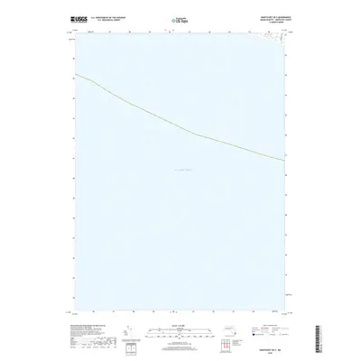
2018 Map of Nantucket OE S
USGS Topo · Published 2018About this map
Atlantic Ocean waters dominate this coastal survey, which captures a specialized view of the southern shoreline of Nantucket. In the upper right corner, the map provides a look at the immediate inland landscape where Somerset Rd terminates near the shoreline. This corner of the island is characterized by the presence of Mioxes Pond, a coastal water body situated just behind the dunes. The map serves as a precise record of the shoreline position and coastal pond configuration at this point in the twenty-first century, showing the narrow strip of land that separates these interior freshwater or brackish features from the sea. The vast majority of the quadrangle extends south over the open ocean, emphasizing the island's exposed position along the continental shelf.
Find a feature on this map
3 named features on this map. Tap any name to fly to it.
Don’t see what you’re looking for? This feature index may not catch every label — zoom into the map to look around manually.
Map Details
Editions of this 2018 Nantucket OE S Map
This is the sole edition of this map. No revisions or reprints were ever made.
Other maps of this area

1887 · Muskeget
USGS Topo · 1:62,500

1889 · Muskeget
USGS Topo · 1:62,500

1889 · Nantucket
USGS Topo · 1:62,500

1893 · Nantucket
USGS Topo · 1:62,500

1893 · Muskeget
USGS Topo · 1:62,500

1899 · Muskeget
USGS Topo · 1:62,500

1901 · Nantucket
USGS Topo · 1:62,500

1942 · Nantucket
USGS Topo · 1:125,000

1944 · Tuckernuck Island
USGS Topo · 1:31,680

1945 · Nantucket
USGS Topo · 1:31,680