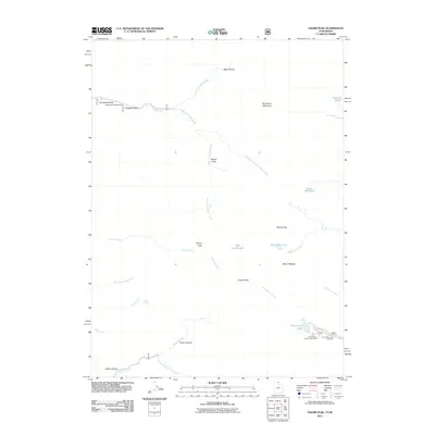
2011 Map of Naomi Peak
USGS Topo · Published 2011About this map
Naomi Peak stands as the central landmark of this 2011 survey, overlooking a complex system of glacial basins and high-altitude waterways. The map illustrates a recreational landscape defined by the drainage of High Creek and the headwaters of Summit Creek, with established access points such as the Tony Grove Lake Campground and the High Creek Campground. The presence of Steam Mill Lake and several alpine peaks including Mount Gog and Mount Magog highlights the area's geological character and its role as a destination for back-country exploration.
Find a feature on this map
33 named features on this map. Tap any name to fly to it.
Don’t see what you’re looking for? This feature index may not catch every label — zoom into the map to look around manually.
Map Details
Editions of this 2011 Naomi Peak Map
This is the sole edition of this map. No revisions or reprints were ever made.
Other maps of this area

1914 · Logan
USGS Topo · 1:125,000

1915 · Preston
USGS Topo · 1:96,000

1916 · Logan
USGS Topo · 1:125,000

1918 · Preston
USGS Topo · 1:125,000

1954 · Ogden
USGS Topo · 1:250,000

1955 · Preston
USGS Topo · 1:250,000

1958 · Ogden
USGS Topo · 1:250,000

1958 · Preston
USGS Topo · 1:250,000

1960 · Ogden
USGS Topo · 1:250,000

1962 · Preston
USGS Topo · 1:250,000