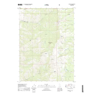
2020 Map of Naomi Peak
USGS Topo · Published 2020About this map
Naomi Peak rises as the central landmark of this high-elevation terrain within the Cache National Forest, marking the boundary between Franklin and Cache counties. The landscape is defined by its glacial cirques and alpine basins, which hold notable water bodies like White Pine Lake, Tony Grove Lake, and the smaller High Cr Lake. These drainages feed into complex creek systems including Cherry Cr and the N Fork High Cr.
Find a feature on this map
54 named features on this map. Tap any name to fly to it.
Don’t see what you’re looking for? This feature index may not catch every label — zoom into the map to look around manually.
Map Details
Editions of this 2020 Naomi Peak Map
This is the sole edition of this map. No revisions or reprints were ever made.
Other maps of this area

1914 · Logan
USGS Topo · 1:125,000

1915 · Preston
USGS Topo · 1:96,000

1916 · Logan
USGS Topo · 1:125,000

1918 · Preston
USGS Topo · 1:125,000

1954 · Ogden
USGS Topo · 1:250,000

1955 · Preston
USGS Topo · 1:250,000

1958 · Ogden
USGS Topo · 1:250,000

1958 · Preston
USGS Topo · 1:250,000

1960 · Ogden
USGS Topo · 1:250,000

1962 · Preston
USGS Topo · 1:250,000